Geolocate

Shirgaon topographic map

Click on the map to display elevation.

About this map

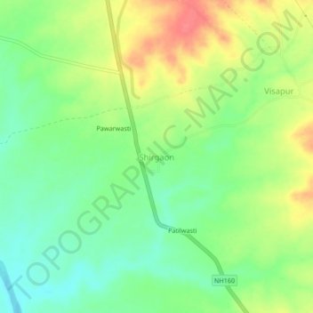
Name: Shirgaon topographic map, elevation, terrain.

Location: Shirgaon, Tasgaon, Sangli, Maharashtra, India (17.08825 74.54920 17.12825 74.58920)

Average elevation: 594 m

Minimum elevation: 566 m

Maximum elevation: 632 m

Gear up for your next adventure:

🧥Waterproof Pants - Keep dry during rainy hiking conditions
👟Sport Hiking Sandals - Breathable footwear for water crossings and camp rest
🦟Insect Repellent - Keep mosquitoes and black flies away in wooded areas
🕶️Polarized Sunglasses - Protect your eyes with durable polarized lenses
🧰Survival Kit - Essential gear for emergencies in the wilderness

As an Amazon Associate, this site earns from qualifying purchases at no extra cost to you.