
Pilion topographic map
Click on the map to display elevation.
Pilion
The mountain is thickly forested, with both deciduous and perennial forests, mainly of beech, oak, maple and chestnut trees, with olive, apple, pear trees and plane tree groves surrounding places with water. Pelion is considered one of the most beautiful mountains in Greece and is a popular tourist attraction throughout the year: hiking trails and stone paths give access to springs, coves and numerous beaches, sandy or pebbly, set among lusciously green slopes. Pelion is an amply watered mountain with an abundance of springs, gorges, streams and rivulets; many streams are routed in carved-stone artificial beds to bring water to the villages and their thriving orchards. The higher elevations of the mountain receive enough snowfall so as to host skiing facilities that operate from Christmas to Easter.
About this map
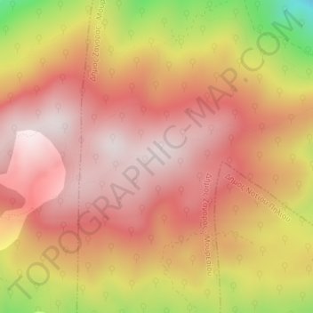
Name: Pilion topographic map, elevation, terrain.
Average elevation: 1,239 m
Minimum elevation: 816 m
Maximum elevation: 1,449 m