
Ichtegem topographic map
Interactive map
Click on the map to display elevation.
About this map
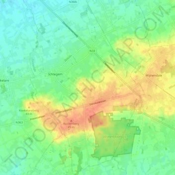
Name: Ichtegem topographic map, elevation, terrain.
Location: Ichtegem, Flandre-Occidentale, Flandre, Belgique (51.05487 2.99509 51.12009 3.06737)
Average elevation: 23 m
Minimum elevation: 3 m
Maximum elevation: 54 m