Geolocate

Mondamin topographic map

Click on the map to display elevation.

About this map

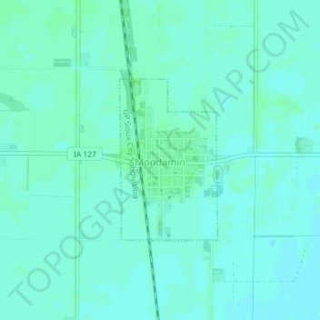
Name: Mondamin topographic map, elevation, terrain.

Location: Mondamin, Harrison County, Iowa, United States (41.70381 -96.02647 41.71744 -96.01533)

Average elevation: 310 m

Minimum elevation: 307 m

Maximum elevation: 314 m

Gear up for your next adventure:

🧥Softshell Jacket - Windproof and breathable jacket for hiking
Family Camping Tent - Spacious tent suitable for family camping trips
🥾Mountain Trail Shoes - High-traction shoes for mountain trails
🥾Light Trekking Boots - Supportive boots for multi-day treks
🛰️Satellite Messenger - Emergency communication for areas with no cell service

As an Amazon Associate, this site earns from qualifying purchases at no extra cost to you.