Geolocate

Tossön topographic map

Click on the map to display elevation.

About this map

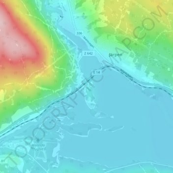
Name: Tossön topographic map, elevation, terrain.

Location: Tossön, Järpen, Åre kommun, Jämtlands län, 837 31, Sverige (63.32085 13.42866 63.36085 13.46866)

Average elevation: 361 m

Minimum elevation: 311 m

Maximum elevation: 560 m

Gear up for your next adventure:

🛏️Camping Sleeping Mat - Comfortable mats for sleeping outdoors
💡Solar Camping Lamp - Eco-friendly lighting for campsites
🥾Approach Shoes - Shoes designed for climbing approaches and rugged trails
🧦Outdoor Socks - Durable socks designed for hiking and outdoor sports
🧢Outdoor Cap - Protective cap for sun and rain during hikes

As an Amazon Associate, this site earns from qualifying purchases at no extra cost to you.