
Redus topographic map
Interactive map
Click on the map to display elevation.
About this map
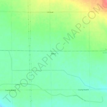
Name: Redus topographic map, elevation, terrain.
Location: Redus, Scotts Bluff County, Nebraska, États-Unis (41.97941 -103.89134 42.01941 -103.85134)
Average elevation: 1,248 m
Minimum elevation: 1,225 m
Maximum elevation: 1,292 m