
Plainfield topographic map
Interactive map
Click on the map to display elevation.
About this map
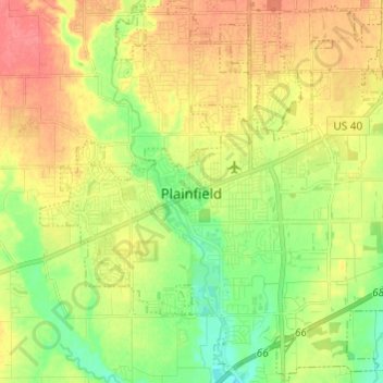
Name: Plainfield topographic map, elevation, terrain.
Location: Plainfield, Hendricks County, Indiana, 46168, United States (39.65861 -86.44734 39.75042 -86.32632)
Average elevation: 236 m
Minimum elevation: 207 m
Maximum elevation: 266 m
Other topographic maps
Click on a map to view its topography, its elevation and its terrain.
Brownsburg
United States > Indiana > Hendricks County
Brownsburg, Hendricks County, Indiana, 46112, United States
Average elevation: 271 m