Geolocate

Ceibal topographic map

Click on the map to display elevation.

About this map

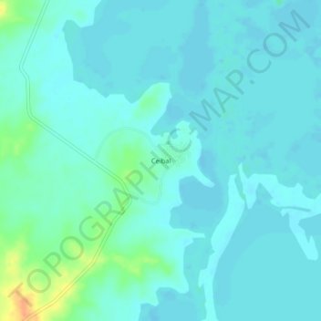
Name: Ceibal topographic map, elevation, terrain.

Location: Ceibal, Magangué, Mojana, Bolívar, RAP Caribe, Colombia (9.33510 -74.83105 9.37510 -74.79105)

Average elevation: 17 m

Minimum elevation: 10 m

Maximum elevation: 48 m

Gear up for your next adventure:

🧢Hiking Sun Hat - Wide-brimmed protection for exposed mountain ridges
🦶Anti-Blister Balm - Prevents friction and hotspots during long ascents
🧥Waterproof Jacket - Lightweight rain jackets for hiking and outdoor activities
💧Collapsible Water Bottle - Space-saving water bottle for outdoor activities
🧭GPS Outdoor Watch - Smart watch for navigation and fitness tracking in nature

As an Amazon Associate, this site earns from qualifying purchases at no extra cost to you.