Geolocate

Itzehoe topographic map

Click on the map to display elevation.

About this map

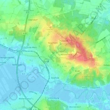
Name: Itzehoe topographic map, elevation, terrain.

Location: Itzehoe, Kreis Steinburg, Schleswig-Holstein, 25524, Germany (53.90141 9.46971 53.96419 9.57892)

Average elevation: 19 m

Minimum elevation: -4 m

Maximum elevation: 72 m

Gear up for your next adventure:

🍽️Titanium Camping Spork - Ultralight and indestructible eating utensil
🥾Waterproof Hiking Boots - Boots keeping your feet dry in wet conditions
🎒Hiking Daypack - Lightweight and durable backpacks for day trips and excursions
💡Compact LED Flashlight - Powerful and portable flashlight for outdoor use
🚲MTB Frame Bag - Carry tools and maps directly on your bicycle frame

As an Amazon Associate, this site earns from qualifying purchases at no extra cost to you.