Geolocate

Kayquit II topographic map

Click on the map to display elevation.

About this map

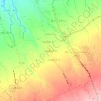
Name: Kayquit II topographic map, elevation, terrain.

Location: Kayquit II, Indang, Cavite, Calabarzon, 4122, Philippines (14.15459 120.86385 14.19459 120.90385)

Average elevation: 361 m

Minimum elevation: 262 m

Maximum elevation: 448 m

Other topographic maps

Click on a map to view its topography, its elevation and its terrain.

Bancod

Philippines > Cavite > Indang

Average elevation: 241 m

Banaba Cerca

Philippines > Cavite > Indang

Average elevation: 222 m

Kaytapos

Philippines > Cavite > Indang

Average elevation: 308 m

Gear up for your next adventure:

🥤Collapsible Travel Cup - Saves space and weight in your mess kit
🔦LED Headlamp - Hands-free lighting for early morning starts or late finishes
🕯️Camping Lantern - Illuminates your entire campsite with high-efficiency LEDs
🔪Outdoor Multitool - Versatile tool for repairs and food prep in the wild
🔭Outdoor Binoculars - Lightweight binoculars for birdwatching and hiking

As an Amazon Associate, this site earns from qualifying purchases at no extra cost to you.