Geolocate

Doongan topographic map

Click on the map to display elevation.

About this map

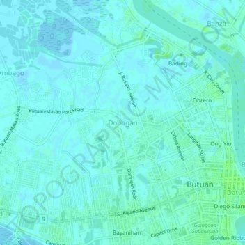
Name: Doongan topographic map, elevation, terrain.

Location: Doongan, Butuan, Caraga, 8600, Philippines (8.93840 125.50417 8.97840 125.54417)

Average elevation: 5 m

Minimum elevation: 2 m

Maximum elevation: 12 m

Gear up for your next adventure:

🥾Durable Hiking Shoes - Long-lasting shoes for frequent hiking
🔥Emergency Fire Starter - Reliable ignition source for all weather conditions
Backpacking Tent - Lightweight tent for long-distance hiking trips
🥾Light Hiking Boots - Lightweight and comfortable boots for day hikes
🥾Waterproof Hiking Boots - Boots keeping your feet dry in wet conditions

As an Amazon Associate, this site earns from qualifying purchases at no extra cost to you.