
Dinxperlo topographic map
Interactive map
Click on the map to display elevation.
About this map
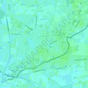
Name: Dinxperlo topographic map, elevation, terrain.
Location: Dinxperlo, Aalten, Geldern, Niederlande (51.85383 6.46434 51.87719 6.51458)
Average elevation: 19 m
Minimum elevation: 16 m
Maximum elevation: 23 m
Other topographic maps
Click on a map to view its topography, its elevation and its terrain.
Bredevoort
Niederlande > Geldern > Aalten
Bredevoort, Aalten, Geldern, Niederlande
Average elevation: 29 m