Geolocate

LETICIA topographic map

Click on the map to display elevation.

About this map

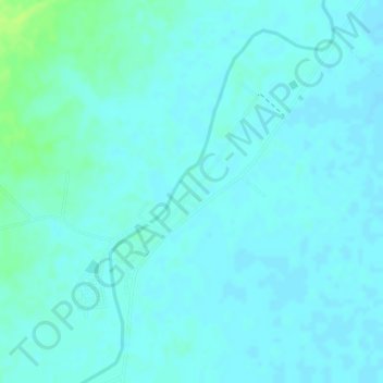
Name: LETICIA topographic map, elevation, terrain.

Location: LETICIA, Centro, Córdoba, RAP Caribe, Colombia (8.67252 -76.03868 8.69252 -76.01868)

Average elevation: 20 m

Minimum elevation: 16 m

Maximum elevation: 30 m

Other topographic maps

Click on a map to view its topography, its elevation and its terrain.

Gear up for your next adventure:

🥾Lightweight Hiking Boots - Boots for comfort and mobility on long hikes
📷Outdoor Action Camera - Capture high-elevation views and rugged adventures
🧥Insulated Jacket - Keep warm in cold outdoor conditions
🍽️Titanium Camping Spork - Ultralight and indestructible eating utensil
🛏️Sleeping Bag - Warm and compact sleeping bags for outdoor camping

As an Amazon Associate, this site earns from qualifying purchases at no extra cost to you.