
Кула topographic map
Interactive map
Click on the map to display elevation.
About this map
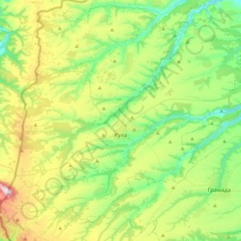
Name: Кула topographic map, elevation, terrain.
Location: Кула, Oblast de Vidin, 3800, Bulgarie (43.80232 22.37004 43.99895 22.69182)
Average elevation: 273 m
Minimum elevation: 85 m
Maximum elevation: 679 m