Geolocate

Saldet topographic map

Click on the map to display elevation.

About this map

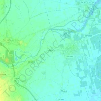
Name: Saldet topographic map, elevation, terrain.

Location: Saldet, Ventalló, Alto Ampurdán, Gerona, Cataluña, 17137, España (42.15081 3.04268 42.19081 3.08268)

Average elevation: 6 m

Minimum elevation: -2 m

Maximum elevation: 18 m

Gear up for your next adventure:

🧣Merino Neck Gaiter - Protects against wind, sun, and cold at high altitudes
🧦Hiking Socks - Moisture-wicking and comfortable socks for long hikes
🛰️Satellite Messenger - Emergency communication for areas with no cell service
🧊Insulated Water Bottle - Keeps drinks cold in summer and prevents freezing in winter
🧥Waterproof Jacket - Lightweight rain jackets for hiking and outdoor activities

As an Amazon Associate, this site earns from qualifying purchases at no extra cost to you.