
Héverlé topographic map
Interactive map
Click on the map to display elevation.
About this map
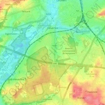
Name: Héverlé topographic map, elevation, terrain.
Location: Héverlé, Louvain, Brabant flamand, 3001, Belgique (50.82421 4.64030 50.87922 4.72768)
Average elevation: 49 m
Minimum elevation: 16 m
Maximum elevation: 97 m