
Bois Ravaux topographic map
Interactive map
Click on the map to display elevation.
About this map
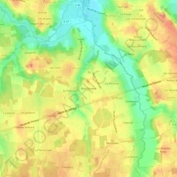
Name: Bois Ravaux topographic map, elevation, terrain.
Average elevation: 235 m
Minimum elevation: 208 m
Maximum elevation: 253 m
Other topographic maps
Click on a map to view its topography, its elevation and its terrain.
Lucy
France > Auvergne-Rhône-Alpes > Ain > Montracol
Lucy, Montracol, Bourg-en-Bresse, Ain, Auvergne-Rhône-Alpes, France métropolitaine, 01310, France
Average elevation: 233 m