
Stübach topographic map
Click on the map to display elevation.
Stübach
Das Pfarrdorf liegt gegenüber dem Weiler Hanbach am Nordufer und linkem Talhang des unteren Ehebachs, eines linken und zugleich des größten Zuflusses der Aisch, auf Höhen von ca. 285–395 m ü. NHN. Der Altbach zweigt sich etwas oberhalb ab, er fließt an der Straßenbrücke der Kreisstraße NEA 15 wieder in den Mühlbach. Nordwestlich von Stübach liegt am Hang Dachsranken eine Feriensiedlung, nördlich erhebt sich der Bubenberg, im Nordosten liegt das Waldgebiet Bauernholz.
About this map
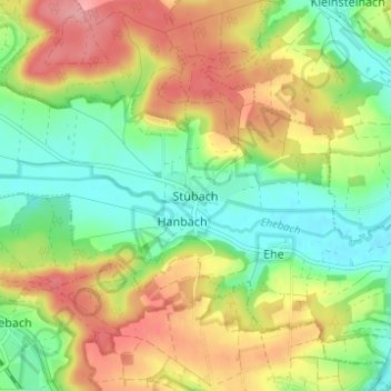
Name: Stübach topographic map, elevation, terrain.
Average elevation: 329 m
Minimum elevation: 282 m
Maximum elevation: 388 m