
韩楼 topographic map
Interactive map
Click on the map to display elevation.
About this map
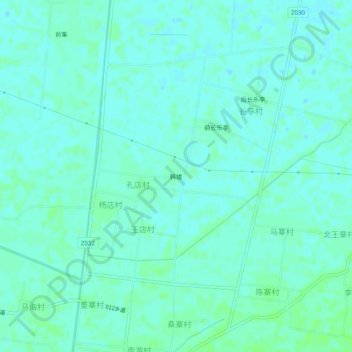
Name: 韩楼 topographic map, elevation, terrain.
Location: 韩楼, 濮阳县, Puyang, Henan, China (35.46327 115.14335 35.50327 115.18335)
Average elevation: 57 m
Minimum elevation: 54 m
Maximum elevation: 61 m