
Miguel Grau topographic map
Interactive map
Click on the map to display elevation.
About this map
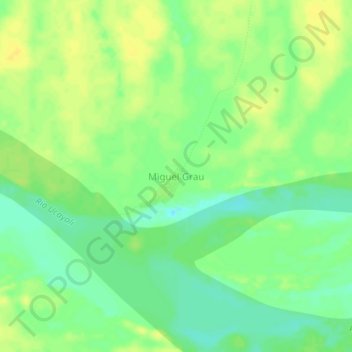
Name: Miguel Grau topographic map, elevation, terrain.
Location: Miguel Grau, Sarayacu, Ucayali, Loreto, Perú (-6.61755 -75.08716 -6.57755 -75.04716)
Average elevation: 119 m
Minimum elevation: 107 m
Maximum elevation: 128 m
Other topographic maps
Click on a map to view its topography, its elevation and its terrain.