Geolocate

Carrascal topographic map

Click on the map to display elevation.

About this map

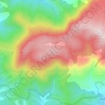
Name: Carrascal topographic map, elevation, terrain.

Location: Carrascal, Urraúl Alto, Pirinioaurrea / Prepirineo, Spain (42.80282 -1.19109 42.80292 -1.19099)

Average elevation: 970 m

Minimum elevation: 749 m

Maximum elevation: 1,206 m

Gear up for your next adventure:

🧦Outdoor Socks - Durable socks designed for hiking and outdoor sports
🕯️Camping Lantern - Illuminates your entire campsite with high-efficiency LEDs
🏕️Camping Hammock - Integrated protection for sleeping between trees
🧶550 Survival Paracord - Versatile utility cord for emergency repairs and rigging
Camping Groundsheet - Protect your tent from moisture and dirt

As an Amazon Associate, this site earns from qualifying purchases at no extra cost to you.