
Lauenhain topographic map
Interactive map
Click on the map to display elevation.
About this map
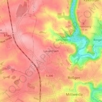
Name: Lauenhain topographic map, elevation, terrain.
Average elevation: 288 m
Minimum elevation: 210 m
Maximum elevation: 322 m
Other topographic maps
Click on a map to view its topography, its elevation and its terrain.
Frankenau
Deutschland > Sachsen > Mittelsachsen > Mittweida
Frankenau, Mittweida, Mittelsachsen, Sachsen, Deutschland
Average elevation: 285 m