Geolocate

Schlins topographic map

Click on the map to display elevation.

About this map

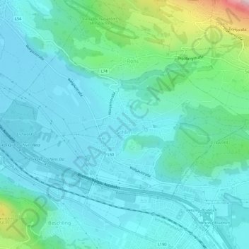
Name: Schlins topographic map, elevation, terrain.

Location: Schlins, Bezirk Feldkirch, Vorarlberg, 6824, Austria (47.19481 9.66962 47.21733 9.72460)

Average elevation: 558 m

Minimum elevation: 479 m

Maximum elevation: 934 m

Other topographic maps

Click on a map to view its topography, its elevation and its terrain.

Gear up for your next adventure:

🧼Travel Hand Sanitizer - Keep hands clean when water is scarce
👟Sport Hiking Sandals - Breathable footwear for water crossings and camp rest
🔋Lithium AA Batteries - Long-lasting power that performs in extreme cold
🥾Trail Running Shoes - Lightweight and durable shoes for trail running
🪑Insulated Seat Pad - Protect your seat from cold rocks and wet logs

As an Amazon Associate, this site earns from qualifying purchases at no extra cost to you.