Geolocate

Kais topographic map

Click on the map to display elevation.

About this map
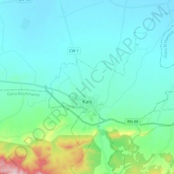
Name: Kais topographic map, elevation, terrain.

Location: Kais, Kaïs District, Khenchela, Algeria (35.44413 6.88998 35.56759 7.01897)

Average elevation: 946 m

Minimum elevation: 857 m

Maximum elevation: 1,417 m

Gear up for your next adventure:

🥾Hiking Shorts - Breathable shorts suitable for summer hikes
🧰Multitool Knife - Compact and versatile tool for outdoor use
🛁Quick-Dry Microfiber Towel - Space-saving towel that dries rapidly on the move
🎒Fully Waterproof Backpack - Total protection for photography gear and electronics
🥾All-Terrain Hiking Boots - Versatile boots for varied hiking conditions

As an Amazon Associate, this site earns from qualifying purchases at no extra cost to you.