
Cheniguel topographic map
Interactive map
Click on the map to display elevation.
About this map
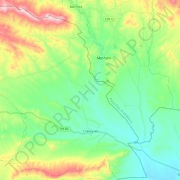
Name: Cheniguel topographic map, elevation, terrain.
Location: Cheniguel, Daïra Chellalet El Adhaoura, Médéa, Algérie (35.88034 3.44287 36.03904 3.62907)
Average elevation: 843 m
Minimum elevation: 660 m
Maximum elevation: 1,254 m