Arthur's Pass topographic map
Click on the map to display elevation.
Arthur's Pass
Arthur's Pass township is about five kilometres (3.1 mi) south of the mountain pass with the same name. At an elevation of 740 metres (2,430 ft) above sea level, the settlement is surrounded by beech forest. The Bealey River runs through the township. The town is located 153 kilometres (95 mi) from Christchurch, a two-hour drive on State Highway 73.
About this map
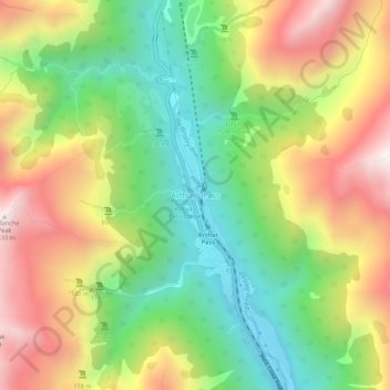
Name: Arthur's Pass topographic map, elevation, terrain.
Location: Arthur's Pass, Selwyn District, 7875, New Zealand (-42.96095 171.54284 -42.92095 171.58284)
Average elevation: 1,204 m
Minimum elevation: 706 m
Maximum elevation: 1,834 m
Other topographic maps
Click on a map to view its topography, its elevation and its terrain.