Geolocate

H48 topographic map

Click on the map to display elevation.

About this map

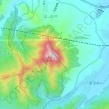
Name: H48 topographic map, elevation, terrain.

Location: H48, Qianxi County, Tangshan, Hebei, China (40.18764 118.19766 40.18774 118.19776)

Average elevation: 266 m

Minimum elevation: 155 m

Maximum elevation: 587 m

Other topographic maps

Click on a map to view its topography, its elevation and its terrain.

Hangu Management District

China > Hebei > Tangshan

Average elevation: 1 m

Caofeidian Xincheng

China > Hebei > Tangshan

Average elevation: 0 m

Huanggezhuang

China > Hebei > Tangshan

Average elevation: 5 m

Caofeidian District

China > Hebei > Tangshan

Average elevation: 1 m

Caofeidian District

China > Hebei > Tangshan

Average elevation: 1 m

Gear up for your next adventure:

Tent Footprint - Protect tent floor and increase durability
🥾Waterproof Hiking Shoes - Durable shoes for wet and rugged trails
🔥Emergency Fire Starter - Reliable ignition source for all weather conditions
🍽️Titanium Camping Spork - Ultralight and indestructible eating utensil
🛰️Satellite Messenger - Emergency communication for areas with no cell service

As an Amazon Associate, this site earns from qualifying purchases at no extra cost to you.