Geolocate

Sangrah topographic map

Click on the map to display elevation.

About this map

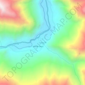
Name: Sangrah topographic map, elevation, terrain.

Location: Sangrah, Sankoo tehsil, Kargil district, Ladakh, India (34.20044 75.95222 34.24044 75.99222)

Average elevation: 3,504 m

Minimum elevation: 3,052 m

Maximum elevation: 4,334 m

Gear up for your next adventure:

🧣Merino Neck Gaiter - Protects against wind, sun, and cold at high altitudes
🚲Handlebar Phone Mount - View topographic-map.com live while cycling
🧴Outdoor Sunscreen - High SPF protection for high-altitude UV exposure
💡Compact LED Flashlight - Powerful and portable flashlight for outdoor use
🥾Mountain Trail Shoes - High-traction shoes for mountain trails

As an Amazon Associate, this site earns from qualifying purchases at no extra cost to you.