
Koramlik topographic map
Interactive map
Click on the map to display elevation.
About this map
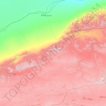
Name: Koramlik topographic map, elevation, terrain.
Location: Koramlik, Qarqan County, Bayingolin, Xinjiang, China (35.74315 85.49047 38.53358 87.97314)
Average elevation: 3,558 m
Minimum elevation: 1,067 m
Maximum elevation: 6,726 m
Other topographic maps
Click on a map to view its topography, its elevation and its terrain.
Tarim Basin
China > Xinjiang > Qarqan County > Tazhong Town
Tarim Basin, Tazhong Town, Qarqan County, Bayingolin, Xinjiang, China
Average elevation: 1,055 m