
Make a donation
Gear up for your next adventure:
As an Amazon Associate, this site earns from qualifying purchases at no extra cost to you.
Le Tiocan topographic map
Click on the map to display elevation.
Make a donation
Gear up for your next adventure:
As an Amazon Associate, this site earns from qualifying purchases at no extra cost to you.
About this map
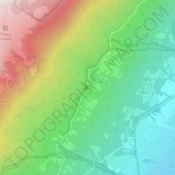
Name: Le Tiocan topographic map, elevation, terrain.
Average elevation: 903 m
Minimum elevation: 493 m
Maximum elevation: 1,591 m
Make a donation
Gear up for your next adventure:
As an Amazon Associate, this site earns from qualifying purchases at no extra cost to you.
Other topographic maps
Click on a map to view its topography, its elevation and its terrain.
Le Reculet
France > Auvergne-Rhône-Alpes > Ain > Thoiry
Le Reculet est le second plus haut sommet du Jura, dans l'Ain, en France. Il culmine à 1 718 mètres d'altitude. Il est situé au sud-ouest du crêt de la Neige, au nord-ouest de Genève sur la commune de Thoiry, porte du parc naturel régional du Haut-Jura. Il est au cœur de la réserve naturelle nationale…
Average elevation: 1,407 m
Make a donation
Gear up for your next adventure:
As an Amazon Associate, this site earns from qualifying purchases at no extra cost to you.