Geolocate

Nidhraad topographic map

Click on the map to display elevation.

About this map

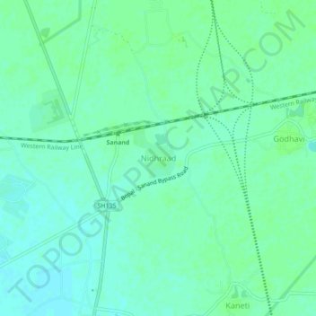
Name: Nidhraad topographic map, elevation, terrain.

Location: Nidhraad, Sanand Taluka, Ahmedabad District, Gujarat, India (23.00086 72.37073 23.04086 72.41073)

Average elevation: 42 m

Minimum elevation: 37 m

Maximum elevation: 45 m

Gear up for your next adventure:

🩹Moleskin Blister Pads - Direct protection for painful foot pressure points
🧼Biodegradable Camp Soap - Environmentally friendly cleaning for gear and body
👟Trail Running Shoes - Agile footwear for fast-paced topographic exploration
🦟Insect Repellent - Keep mosquitoes and black flies away in wooded areas
🧴Insect Repellent - Protect yourself from bugs during outdoor adventures

As an Amazon Associate, this site earns from qualifying purchases at no extra cost to you.