Geolocate

Villamudria topographic map

Click on the map to display elevation.

About this map

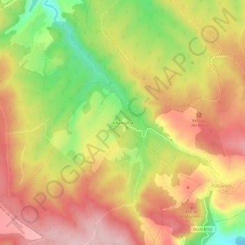
Name: Villamudria topographic map, elevation, terrain.

Location: Villamudria, Rábanos, Burgos, Castilla y León, 09269, España (42.31026 -3.31202 42.35026 -3.27202)

Average elevation: 1,153 m

Minimum elevation: 1,017 m

Maximum elevation: 1,254 m

Gear up for your next adventure:

🗺️Topographic Maps - Detailed maps to explore trails, mountains, and wilderness areas
👟Sport Hiking Sandals - Breathable footwear for water crossings and camp rest
Camping Groundsheet - Protect your tent from moisture and dirt
🎒Hiking Daypack - Lightweight and durable backpacks for day trips and excursions
🏕️Camping Hammock - Integrated protection for sleeping between trees

As an Amazon Associate, this site earns from qualifying purchases at no extra cost to you.