
Twenterand topographic map
Interactive map
Click on the map to display elevation.
About this map
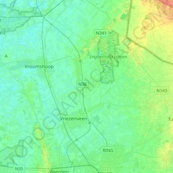
Name: Twenterand topographic map, elevation, terrain.
Location: Twenterand, Overijssel, Niederlande (52.38363 6.44745 52.49498 6.71771)
Average elevation: 13 m
Minimum elevation: 4 m
Maximum elevation: 40 m
Other topographic maps
Click on a map to view its topography, its elevation and its terrain.
Vriezenveen
Niederlande > Overijssel > Twenterand
Vriezenveen, Twenterand, Overijssel, Niederlande
Average elevation: 12 m