Geolocate

Marangi topographic map

Click on the map to display elevation.

About this map

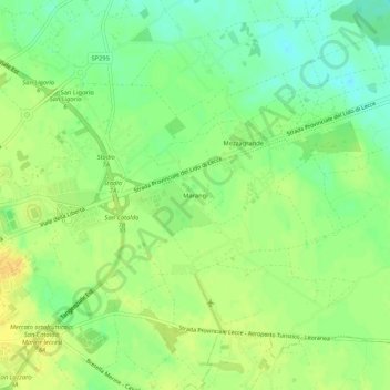
Name: Marangi topographic map, elevation, terrain.

Location: Marangi, Lecce, Apulia, Italy (40.34692 18.21065 40.38692 18.25065)

Average elevation: 32 m

Minimum elevation: 18 m

Maximum elevation: 45 m

Gear up for your next adventure:

🥾Durable Hiking Shoes - Long-lasting shoes for frequent hiking
🧦Hiking Liner Socks - Thin base layer to prevent friction and blisters
🧣Evaporative Cooling Towel - Beat the heat during intense summer climbs
📷Outdoor Action Camera - Capture high-elevation views and rugged adventures
🩹Moleskin Blister Pads - Direct protection for painful foot pressure points

As an Amazon Associate, this site earns from qualifying purchases at no extra cost to you.