
Madri topographic map
Interactive map
Click on the map to display elevation.
About this map
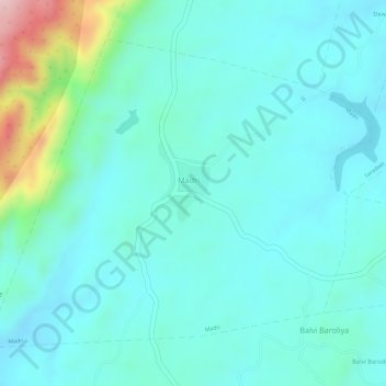
Name: Madri topographic map, elevation, terrain.
Location: Madri, Jhadol Tehsil, Udaipur District, Rajasthan, India (24.23801 73.47128 24.25964 73.50087)
Average elevation: 710 m
Minimum elevation: 660 m
Maximum elevation: 907 m