
St. John topographic map
Click on the map to display elevation.
About this map
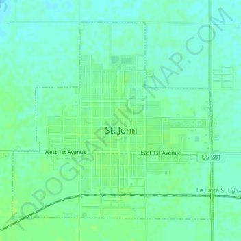
Name: St. John topographic map, elevation, terrain.
Location: St. John, Stafford County, Kansas, 67576, United States (37.99201 -98.77557 38.01413 -98.74701)
Average elevation: 581 m
Minimum elevation: 576 m
Maximum elevation: 585 m