Geolocate

Golden topographic map

Click on the map to display elevation.

About this map

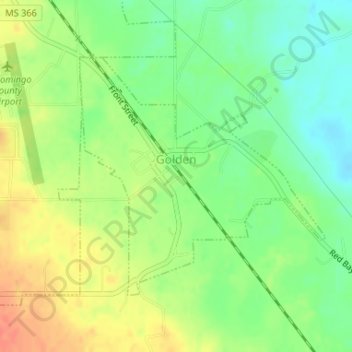
Name: Golden topographic map, elevation, terrain.

Location: Golden, Tishomingo County, Mississippi, United States (34.47788 -88.19608 34.49618 -88.17313)

Average elevation: 170 m

Minimum elevation: 147 m

Maximum elevation: 195 m

Gear up for your next adventure:

🪑Ultralight Camping Stool - Compact seating for rest stops during long hikes
🌬️Windproof Camp Stove - Efficient cooking even on exposed mountain peaks
🛌Insulated Sleeping Pad - Critical thermal barrier between you and the cold ground
🔥Camping Stove - Portable stoves to cook outdoors with ease
💧Filtered Water Bottle - Safe drinking water on the go

As an Amazon Associate, this site earns from qualifying purchases at no extra cost to you.