
Ontario topographic map
Click on the map to display elevation.
Ontario
Ontario is located at an elevation of 2,150 feet (660 m) above sea level.
About this map
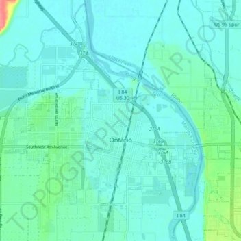
Name: Ontario topographic map, elevation, terrain.
Location: Ontario, Malheur County, Oregon, 97914, United States (44.01022 -117.01989 44.05253 -116.93534)
Average elevation: 660 m
Minimum elevation: 649 m
Maximum elevation: 714 m