Geolocate

Denning topographic map

Click on the map to display elevation.

About this map

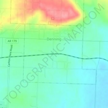
Name: Denning topographic map, elevation, terrain.

Location: Denning, Franklin County, Arkansas, 72821, United States (35.41788 -93.76664 35.43303 -93.74409)

Average elevation: 139 m

Minimum elevation: 110 m

Maximum elevation: 202 m

Other topographic maps

Click on a map to view its topography, its elevation and its terrain.

Alix

United States > Arkansas > Franklin County

Average elevation: 129 m

Cecil

United States > Arkansas > Franklin County

Average elevation: 233 m

Peanut

United States > Arkansas > Franklin County

Average elevation: 372 m

Vesta

United States > Arkansas > Franklin County

Average elevation: 147 m

Webb City

United States > Arkansas > Franklin County

Average elevation: 135 m

Mountain Top

United States > Arkansas > Franklin County

Average elevation: 480 m

Redding

United States > Arkansas > Franklin County > Redding

Average elevation: 308 m

Gear up for your next adventure:

🥾Trail Hiking Socks - Comfortable socks to prevent blisters and fatigue
🧦Hiking Liner Socks - Thin base layer to prevent friction and blisters
👟Sport Hiking Sandals - Breathable footwear for water crossings and camp rest
🧦Hiking Socks - Moisture-wicking and comfortable socks for long hikes
🛏️Sleeping Bag - Warm and compact sleeping bags for outdoor camping

As an Amazon Associate, this site earns from qualifying purchases at no extra cost to you.