
Stoner topographic map
Interactive map
Click on the map to display elevation.
About this map
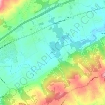
Name: Stoner topographic map, elevation, terrain.
Location: Stoner, York County, Pennsylvania, 17368, United States (39.98399 -76.59663 40.02399 -76.55663)
Average elevation: 143 m
Minimum elevation: 83 m
Maximum elevation: 260 m