
Kharia topographic map
Interactive map
Click on the map to display elevation.
About this map
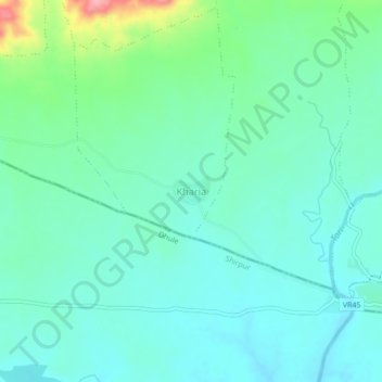
Name: Kharia topographic map, elevation, terrain.
Location: Kharia, Varla, Barwani District, Madhya Pradesh, Inde (21.42370 75.13196 21.46370 75.17196)
Average elevation: 287 m
Minimum elevation: 260 m
Maximum elevation: 383 m