
Riclones topographic map
Click on the map to display elevation.
Riclones
Riclones es una localidad del municipio de Rionansa (Cantabria, España). En el año 2022 contaba con una población de 87 habitantes (INE). La localidad se encuentra a 170 metros de altitud sobre el nivel del mar, y a ocho kilómetros de Puentenansa, la capital municipal. Celebra la festividad de San Antonio de Padua el 13 de junio. De su patrimonio destacan dos cuevas declaradas Bien de Interés Cultural, con categoría de Zona Arqueológica.
About this map
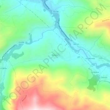
Name: Riclones topographic map, elevation, terrain.
Location: Riclones, Rionansa, Saja-Nansa, Cantabria, 39553, España (43.26365 -4.47774 43.30365 -4.43774)
Average elevation: 320 m
Minimum elevation: 78 m
Maximum elevation: 812 m