Geolocate

Miles topographic map

Click on the map to display elevation.

About this map

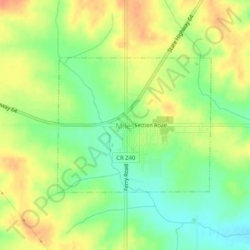
Name: Miles topographic map, elevation, terrain.

Location: Miles, Jackson County, Iowa, United States (42.04085 -90.32569 42.05542 -90.30332)

Average elevation: 248 m

Minimum elevation: 225 m

Maximum elevation: 270 m

Other topographic maps

Click on a map to view its topography, its elevation and its terrain.

Fulton

United States > Iowa > Jackson County

Average elevation: 231 m

Ozark

United States > Iowa > Jackson County

Average elevation: 266 m

Ozark

United States > Iowa > Jackson County

Average elevation: 266 m

Ozark

United States > Iowa > Jackson County

Average elevation: 266 m

Gear up for your next adventure:

🥾Lightweight Hiking Shoes - Comfortable shoes for day hikes
🚲Handlebar Phone Mount - View topographic-map.com live while cycling
🎒Fully Waterproof Backpack - Total protection for photography gear and electronics
🏕️Camping Hammock - Integrated protection for sleeping between trees
🛶Kayak Dry Bag - Waterproof storage for kayaking adventures

As an Amazon Associate, this site earns from qualifying purchases at no extra cost to you.