
Augusta topographic map
Click on the map to display elevation.
About this map
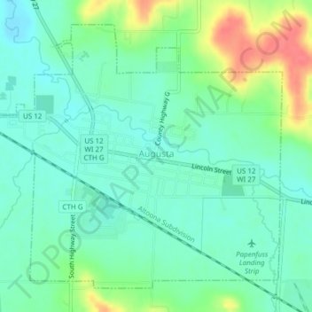
Name: Augusta topographic map, elevation, terrain.
Location: Augusta, Eau Claire County, Wisconsin, United States (44.66851 -91.14259 44.69143 -91.10450)
Average elevation: 302 m
Minimum elevation: 282 m
Maximum elevation: 346 m
Other topographic maps
Click on a map to view its topography, its elevation and its terrain.
Cleghorn
United States > Wisconsin > Eau Claire County > Town of Pleasant Valley
Average elevation: 307 m
Pinehurst Park
United States > Wisconsin > Eau Claire County > Eau Claire > Pinehurst
Average elevation: 289 m