
塔村 topographic map
Interactive map
Click on the map to display elevation.
About this map
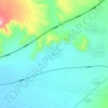
Name: 塔村 topographic map, elevation, terrain.
Location: 塔村, 大同市, 山西省, 中国 (39.75015 113.72034 39.79015 113.76034)
Average elevation: 1,176 m
Minimum elevation: 1,107 m
Maximum elevation: 1,421 m
Other topographic maps
Click on a map to view its topography, its elevation and its terrain.