Geolocate

La Colorada topographic map

Click on the map to display elevation.

About this map

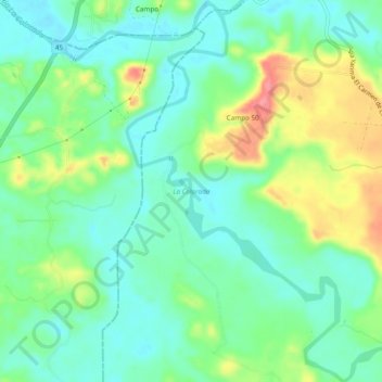
Name: La Colorada topographic map, elevation, terrain.

Location: La Colorada, San Vicente de Chucurí, Yariguíes, Santander, RAP Gran Santander, Colombia (6.81469 -73.76682 6.86222 -73.72537)

Average elevation: 112 m

Minimum elevation: 81 m

Maximum elevation: 177 m

Other topographic maps

Click on a map to view its topography, its elevation and its terrain.

Guamales

Colombia > Santander > San Vicente de Chucurí

Average elevation: 1,232 m

Pamplona

Colombia > Santander > San Vicente de Chucurí

Average elevation: 1,220 m

Tulcan

Colombia > Santander > San Vicente de Chucurí

Average elevation: 386 m

Gear up for your next adventure:

🧼Travel Hand Sanitizer - Keep hands clean when water is scarce
🧤Insulated Winter Gloves - Heavy-duty protection for sub-zero Canadian adventures
💡Compact LED Flashlight - Powerful and portable flashlight for outdoor use
🚲MTB Frame Bag - Carry tools and maps directly on your bicycle frame
Camping Coffee Maker - Brew fresh coffee anywhere on the topographic map

As an Amazon Associate, this site earns from qualifying purchases at no extra cost to you.