
Bochones topographic map
Interactive map
Click on the map to display elevation.
About this map
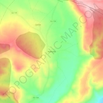
Name: Bochones topographic map, elevation, terrain.
Location: Bochones, Atienza, Guadalajara, Castilla-La Mancha, España (41.22752 -2.87517 41.26752 -2.83517)
Average elevation: 1,159 m
Minimum elevation: 1,052 m
Maximum elevation: 1,258 m