
Gendt topographic map
Interactive map
Click on the map to display elevation.
About this map
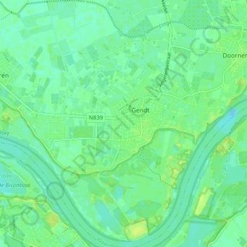
Name: Gendt topographic map, elevation, terrain.
Location: Gendt, Lingewaard, Geldern, Niederlande (51.85445 5.93309 51.90033 6.00205)
Average elevation: 11 m
Minimum elevation: 5 m
Maximum elevation: 19 m