Geolocate

Babaganj topographic map

Click on the map to display elevation.

About this map

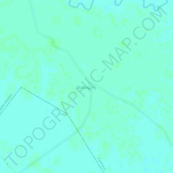
Name: Babaganj topographic map, elevation, terrain.

Location: Babaganj, Fatehpur, Barabanki District, Uttar Pradesh, India (27.13213 80.98691 27.17213 81.02691)

Average elevation: 127 m

Minimum elevation: 124 m

Maximum elevation: 129 m

Gear up for your next adventure:

🧊Insulated Water Bottle - Keeps drinks cold in summer and prevents freezing in winter
🥾Hiking Shorts - Breathable shorts suitable for summer hikes
🧴Bear Spray Holster - Quick-access carry for essential Canadian wilderness safety
💧Hydration Bladder - Hands-free hydration solution for long treks
🎒Hiking Daypack - Lightweight and durable backpacks for day trips and excursions

As an Amazon Associate, this site earns from qualifying purchases at no extra cost to you.