

Cúcuta topographic map
Click on the map to display elevation.
Cúcuta
The city is in the eastern part of the Department of North Santander, in the Cordillera Oriental, close to the border with Venezuela. The city's area is 110 square kilometres (42 square miles) and its elevation is 320 metres (1,050 feet) above sea level.
About this map
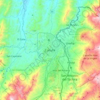
Name: Cúcuta topographic map, elevation, terrain.
Location: Cúcuta, Oriental, Norte de Santander, 540001, Colombia (7.73715 -72.66804 8.05715 -72.34804)
Average elevation: 575 m
Minimum elevation: 128 m
Maximum elevation: 1,786 m